To become a center of excellence in training and research in disciplines of Surveying, Mapping and Printing
Vision
Mission
To provide training for fostering qualified personnel in the fields of Surveying, Mapping and Printing and to carry out research in those areas.
Mandate
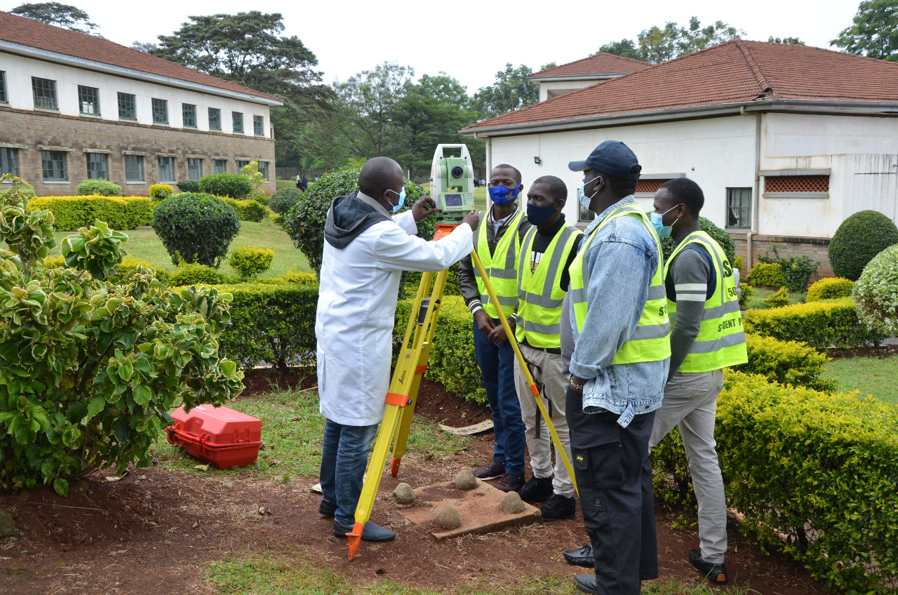
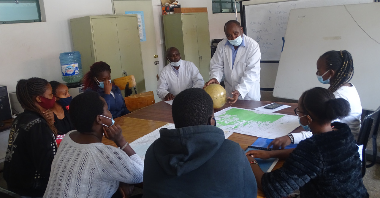
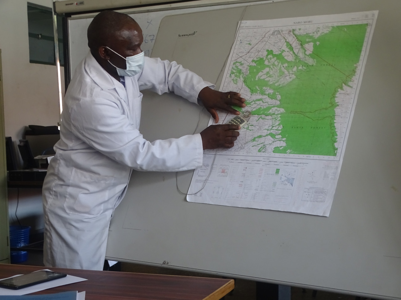
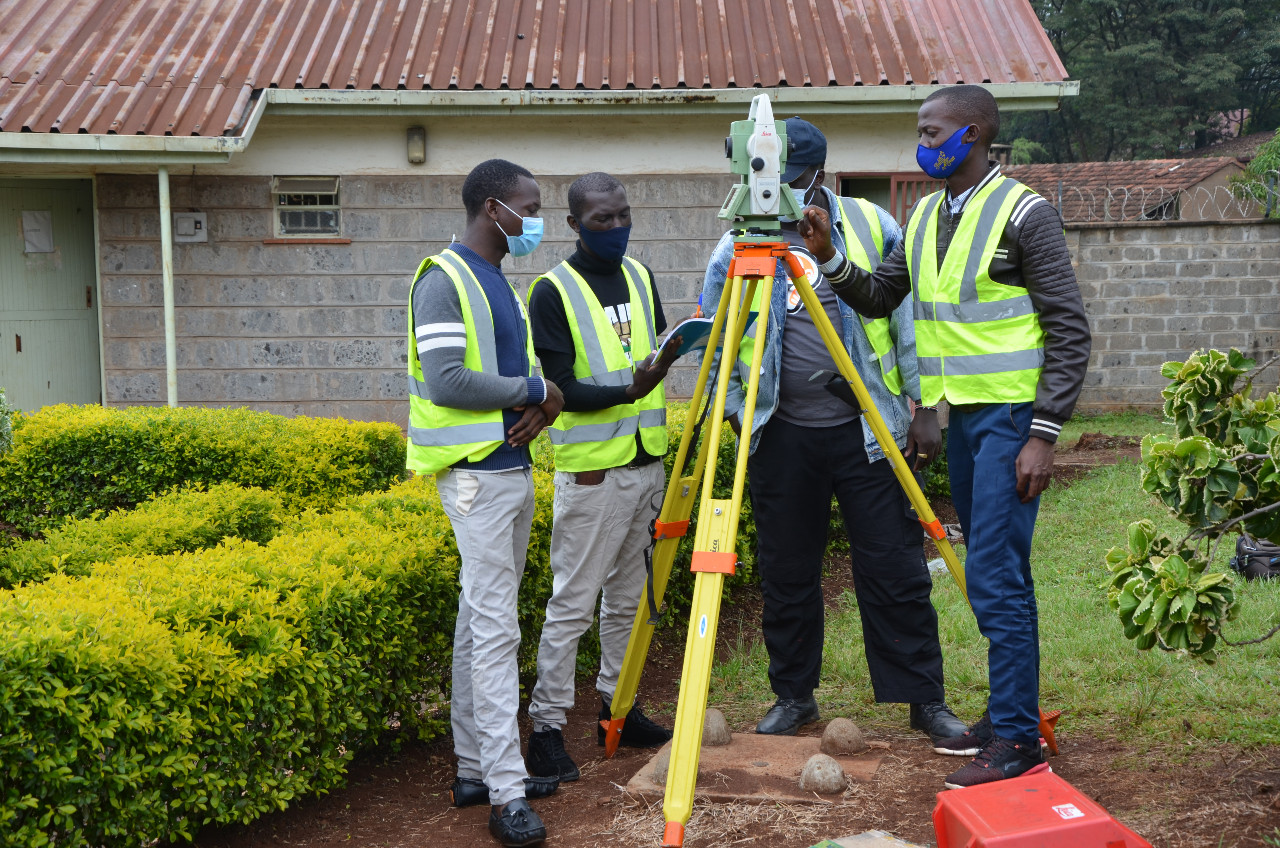
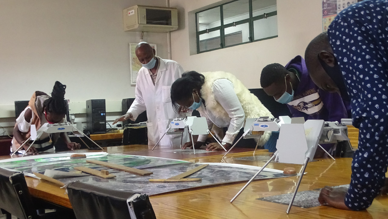
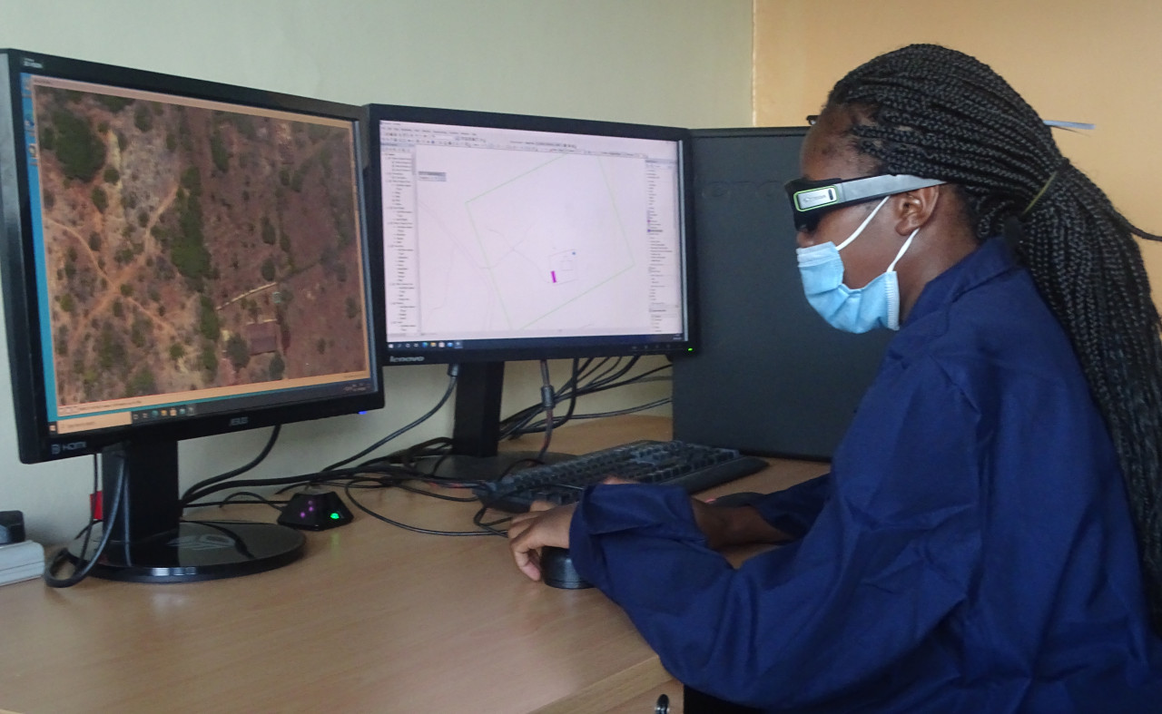
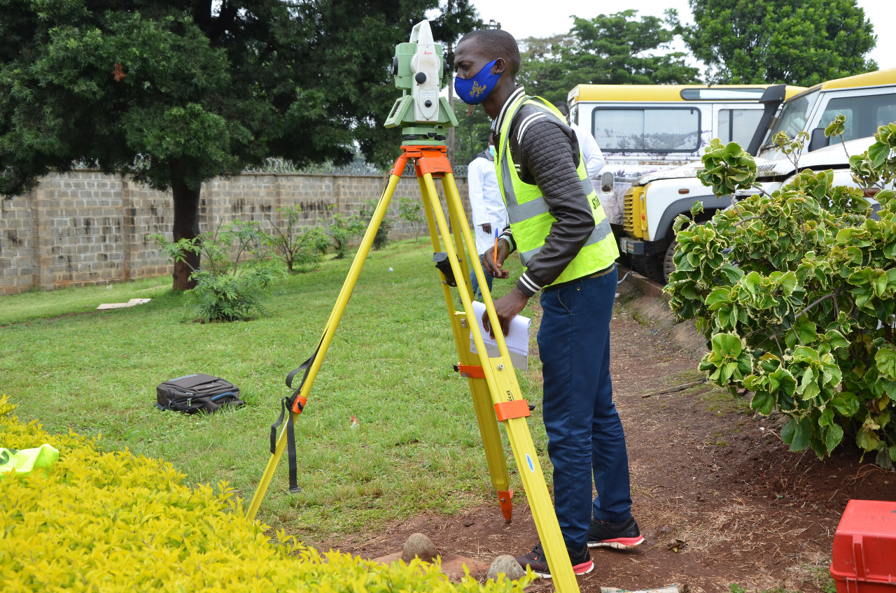
The institution’s core mandate is to undertake training, research and strengthen the capacity in geo-sciences including land survey, cartography, photolithography, photogrammetry and remote sensing.
The Institution also offers various short-term tailor-made courses and third country training programmes in the fast-changing field of geo-sciences. In addition, the institution offers consultancy services on geosciences.
Diploma Courses
Duration 3 Years-full time
All our prospective clients are advised to view training calendar for information on when a course begins
Craft Certificate
Duration 2 Years-full time

