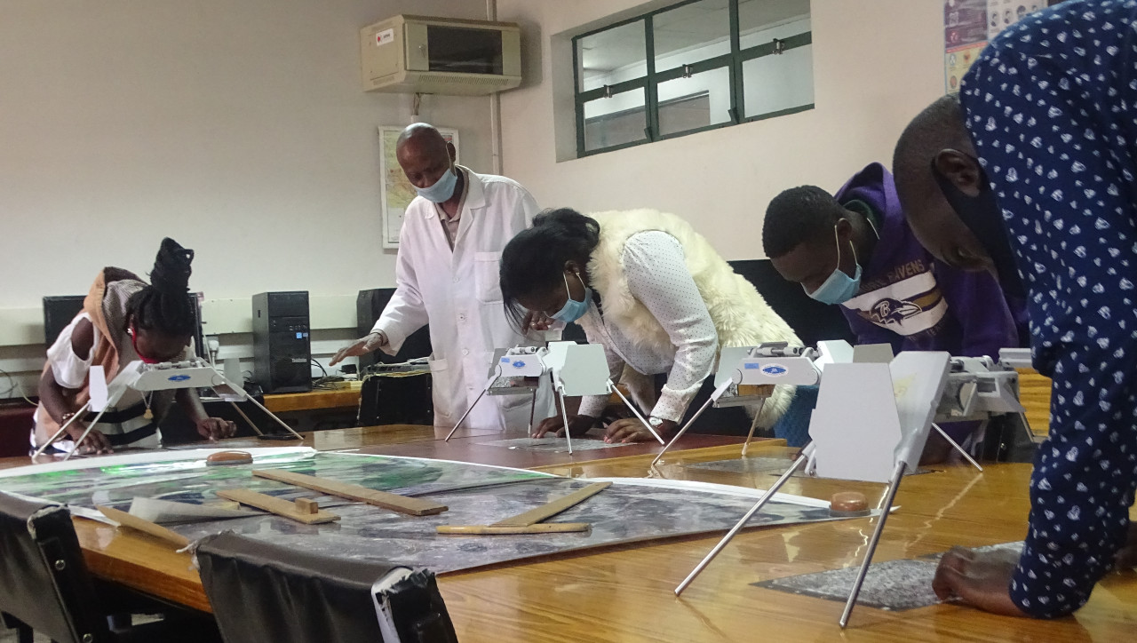
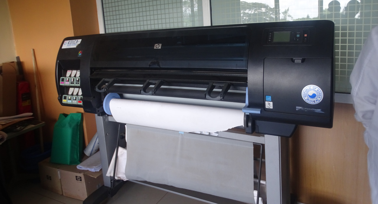
The department of Photogrammetry and Remote Sensing imparts knowledge, skills and attitudes in all areas of Photogrammetry and Remote Sensing. The department also undertakes Photogrammetric and/or Remote Sensing production projects, conducts Photogrammetric and/or Remote Sensing research and offer consultancy services in Photogrammetry and Remote Sensing.

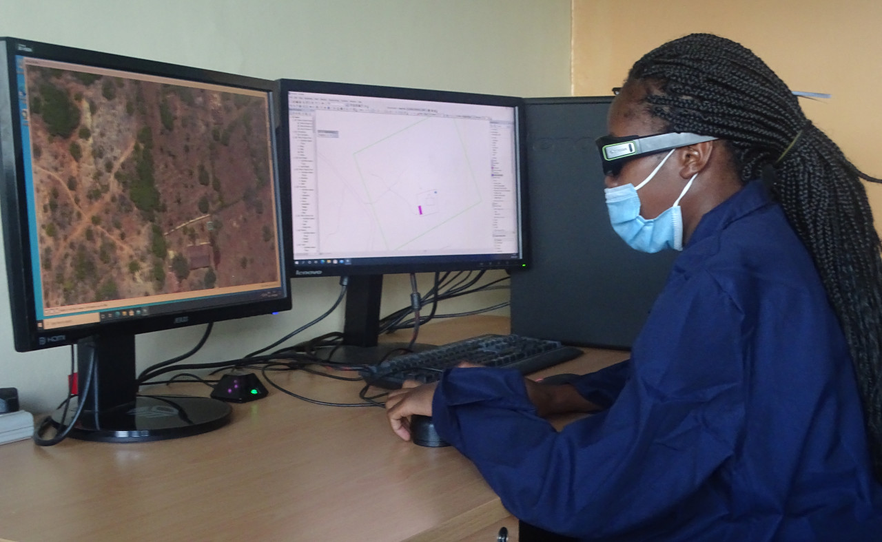
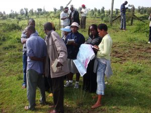
Photogrammetry and Remote Sensing provide most of the data to Geographical information Systems. Specifical Photogrammetry and Remote Sensing is mainly applied in the following areas:-

  1. Topographical Mapping
  2. Geological mapping
  3. Land cover/land use and planning
  4. Cadastral mapping
  5. Forestry
  6. Natural resource Management
  7. Meteorology
  8. Medicine and surgery
  9. Mining
  10. Mineral
  11. Exploration
  12. Agriculture
  13. Military intelligence
  14. Environmental management
  15. Archaeology
  16. Engineering etc

Opportunities for our graduates

Graduates of Photogrammetry and Remote Sensing are employed in the following sectors among others;-

  • Government departments concerned mainly with mapping, Physical planning, transport,, Housing, mining/mineral exploration, Geology, Forestry, range management, conservation, Environmental monitoring, water management, soil studies, security etc
  • Utility companies-power generation and transmission water and sewerage, oil/gas pipeline, telecommunication etc
  • Academic-Technical staff at universities and tertiary institutions, etc

ALOS Third country Group Training Participants in a remote sensing Field work exercise